Industries we serve
Drone documentation for the people who need clear proof—fast.
From homeowners preparing for hurricane season to commercial property managers and builders, SkySight Drones delivers organized aerial photo/video packages that support inspections, records, and insurance claims—typically within 48 hours.
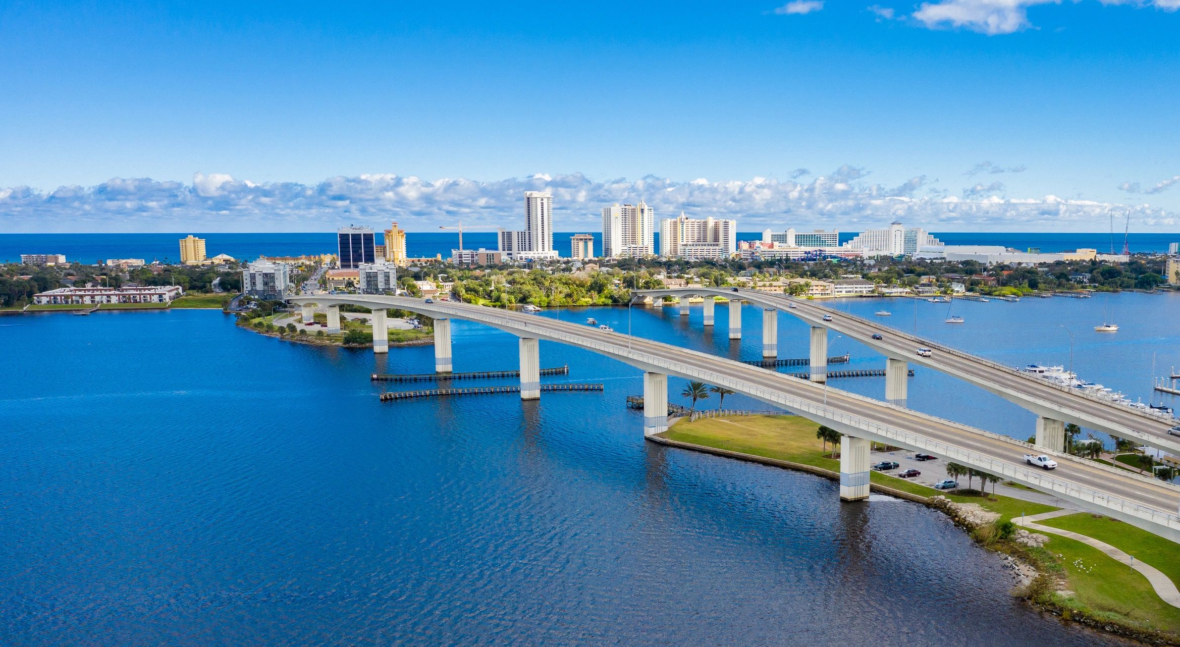
Industries & use cases
Select the scenario that matches your needs. Each package includes organized deliverables (timestamped, geotagged files when available) built for easy sharing with insurers, adjusters, and stakeholders.

Homeowners & Property Owners
Pre-hurricane baseline documentation and post-storm visuals for faster, clearer claims support.

Insurance & Claims Teams
Consistent, structured imagery to document condition, scope, and changes over time.

Real Estate Professionals
Listing-ready aerial photos/video to highlight location, lot lines, and neighborhood context.
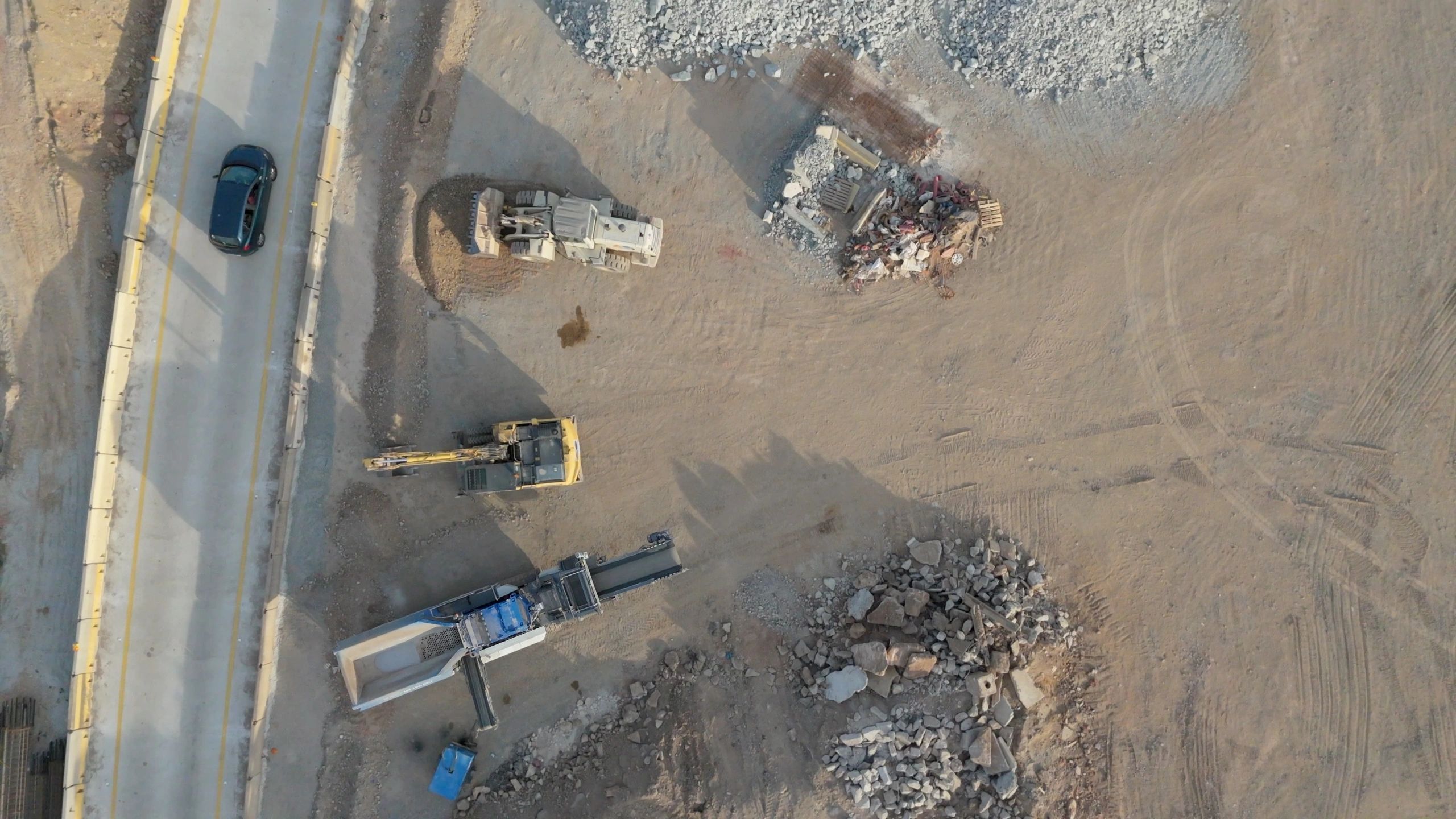
Construction & Contractors
Progress documentation, roof/exterior checks, and stakeholder updates without climbing or lifts.

Commercial Property Management
Routine roof and exterior documentation for maintenance planning, risk management, and records.
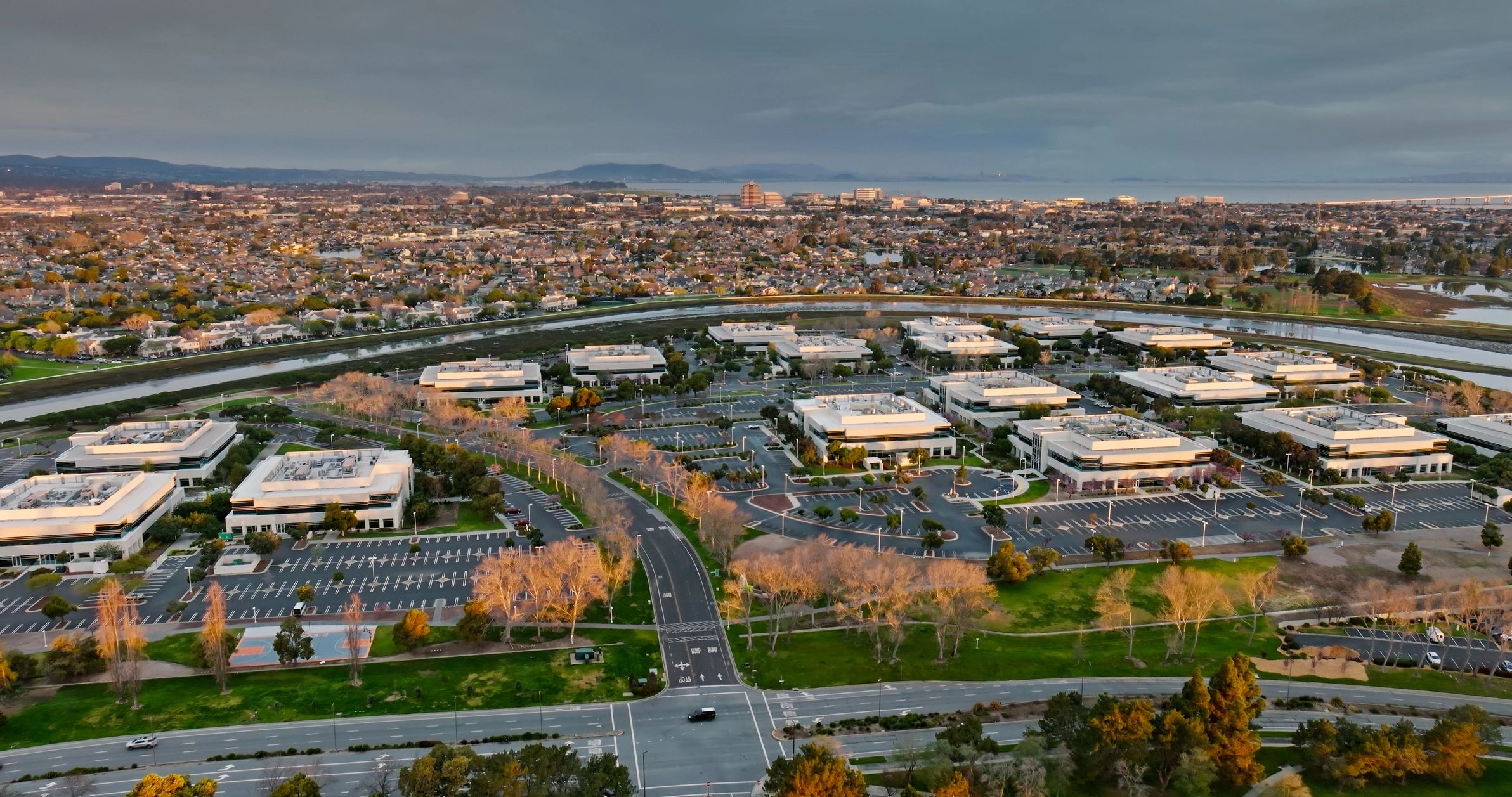
HOAs & Communities
Community-wide overviews for seasonal preparedness, common-area records, and vendor coordination.
What each industry gets from SkySight
Reliable documentation is only useful if it’s easy to understand and easy to share. We deliver consistent coverage, organized files, and clear reporting—so your next decision (or claim) is supported by evidence.
All flights are performed by an FAA Part 107 certified pilot and backed by insurance. We prioritize safe operations, clear communication, and deliverables that match your workflow.
48 hrs
Typical turnaround for organized digital delivery

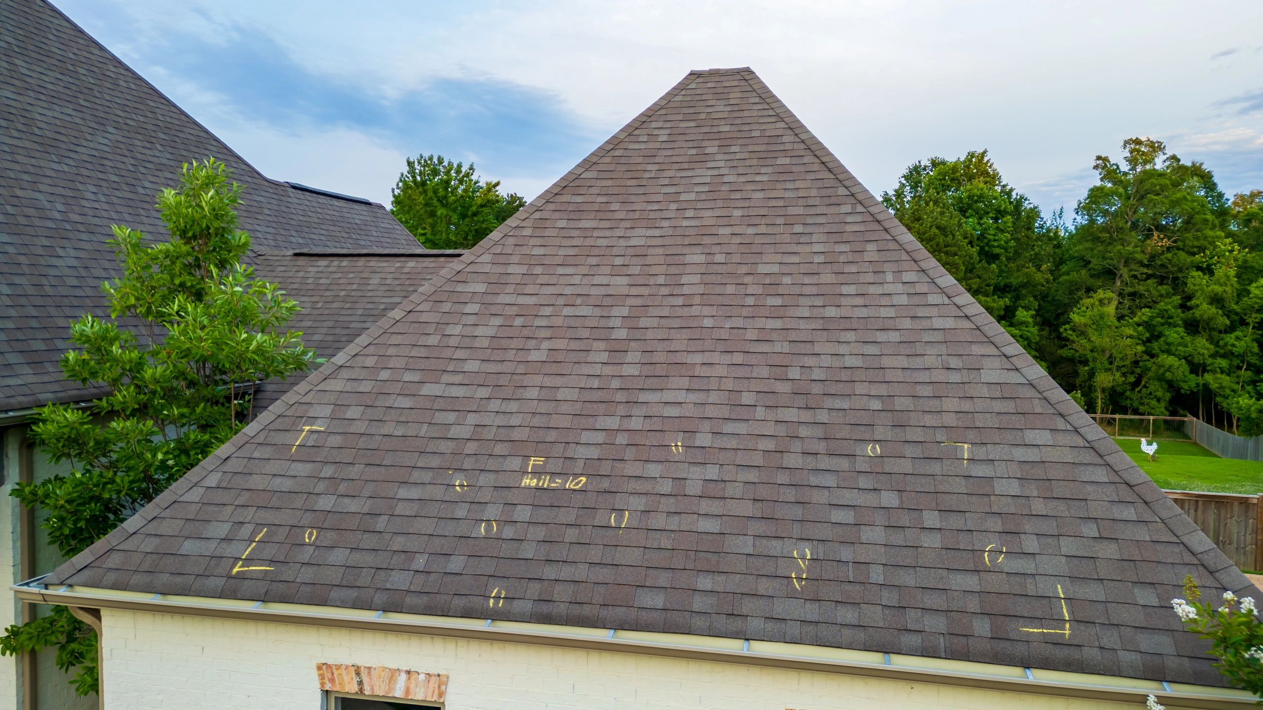
Need documentation before the next storm?
Get a pre-hurricane baseline package or schedule a post-storm assessment across Central Florida (and statewide for hurricane documentation).